
Maps 2.0
Know the loop before you enter it
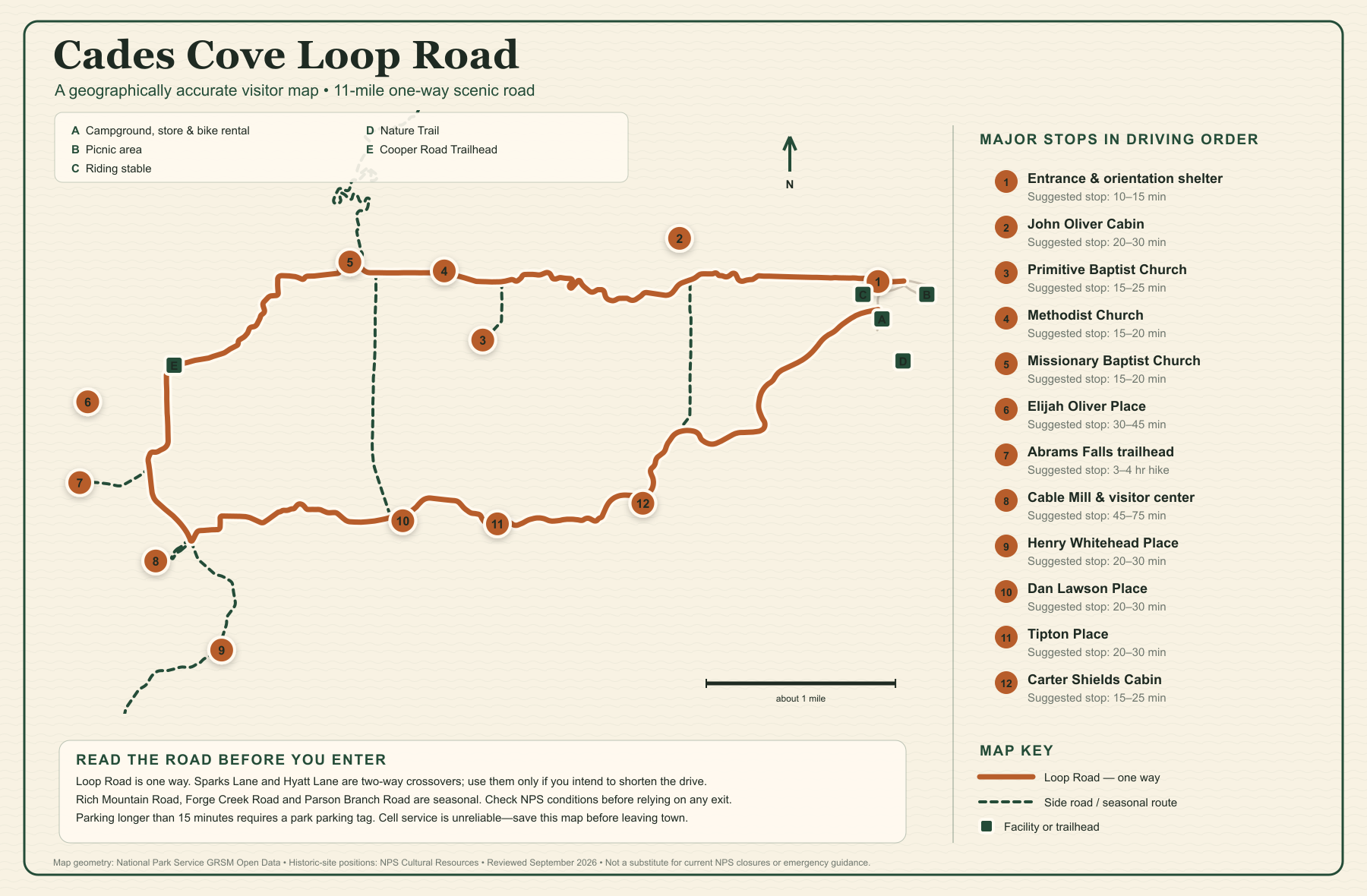
Two maps built for the questions that matter on the road: what comes next around the one-way loop, and which mountain road actually leads into the cove. Every route and marker is positioned from National Park Service and USGS geographic data.
Map 1
Cades Cove Loop Road visitor map
The numbered sites follow the road in driving order. Green lettered markers identify facilities and trailheads, while dashed lines show crossovers and seasonal side roads.

Major stops in driving order
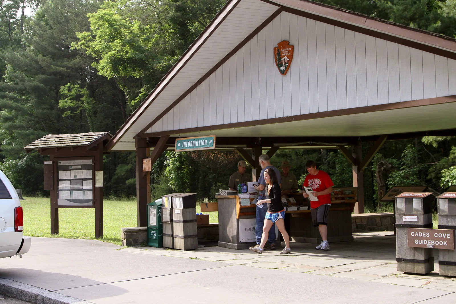 Entrance & orientation shelterMake the last useful decisions before the road becomes one-way.Open guide →Open guide for Entrance & orientation shelter
 John Oliver CabinOne of the cove’s earliest surviving homesites; reached by a short walk.Open guide →Open guide for John Oliver Cabin
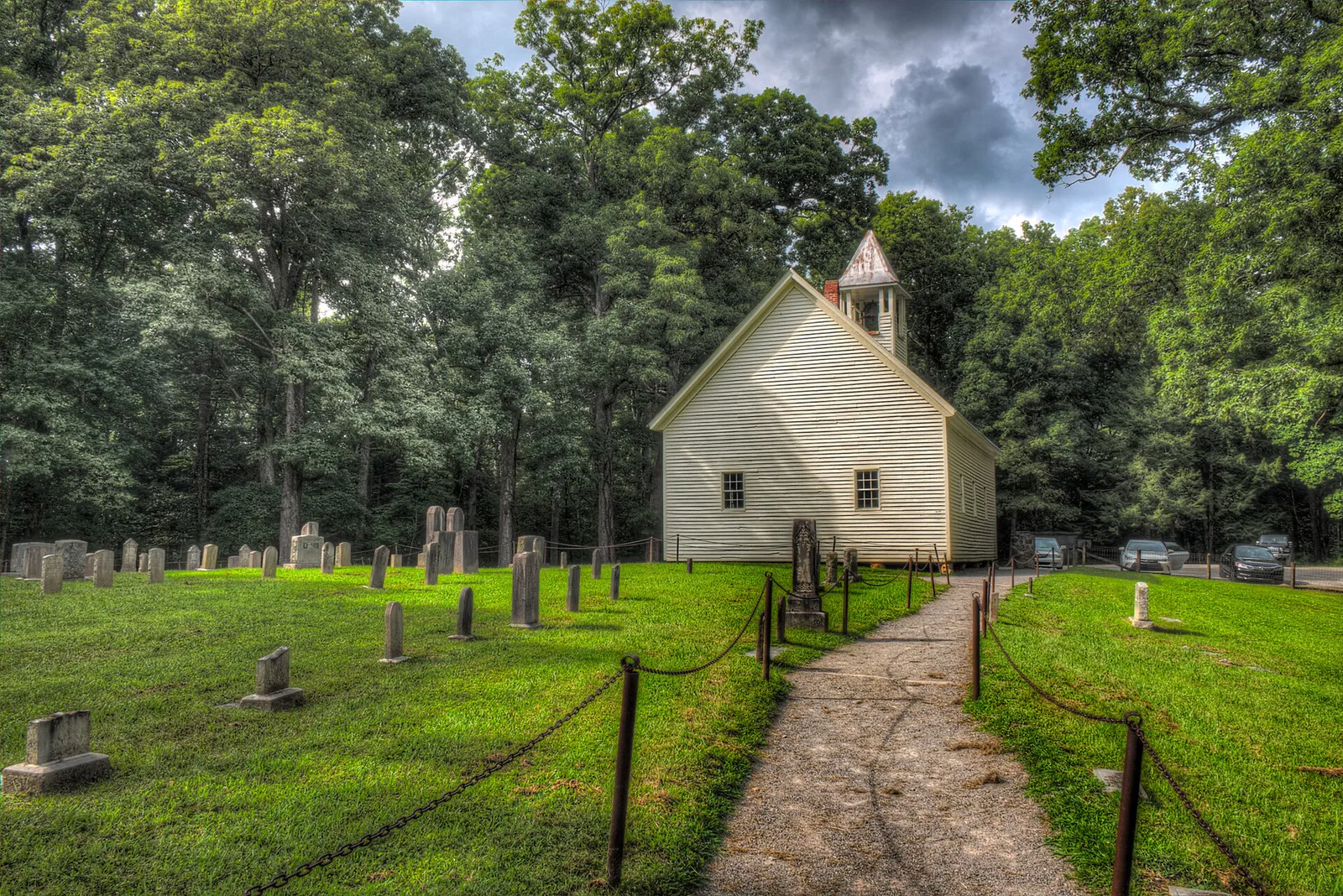 Primitive Baptist ChurchHistoric church and cemetery above the Loop Road.Open guide →Open guide for Primitive Baptist Church
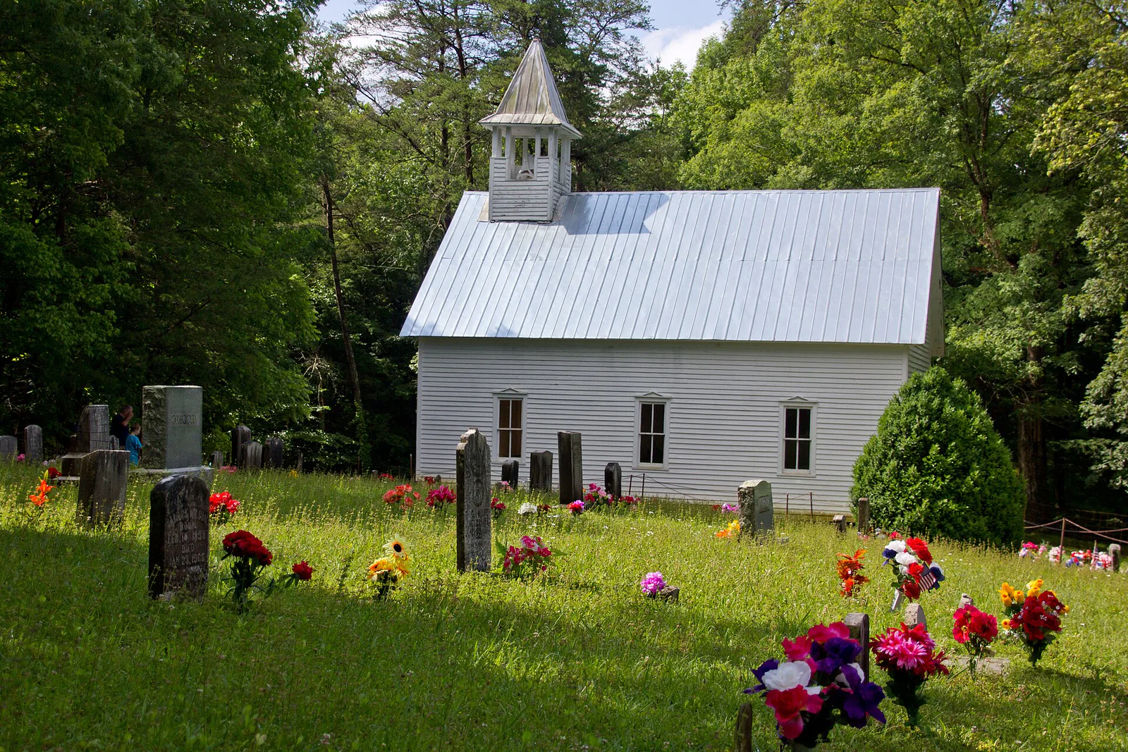 Methodist ChurchA frame church with two front doors and a hillside cemetery.Open guide →Open guide for Methodist Church
 Missionary Baptist ChurchA 1915 church whose congregation began after an 1839 split.Open guide →Open guide for Missionary Baptist Church
 Elijah Oliver PlaceA longer walk to a cabin set near the cove’s wooded edge.Open guide →Open guide for Elijah Oliver Place
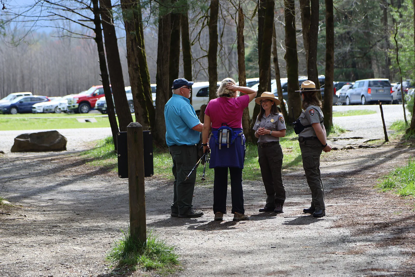 Abrams Falls trailheadThe starting point for the five-mile round-trip waterfall hike.Open guide →Open guide for Abrams Falls trailhead
 Cable Mill & visitor centerThe original mill, historic farm buildings, restrooms and information.Open guide →Open guide for Cable Mill & visitor center
 Henry Whitehead PlaceTwo connected cabins that preserve two log-building traditions.Open guide →Open guide for Henry Whitehead Place
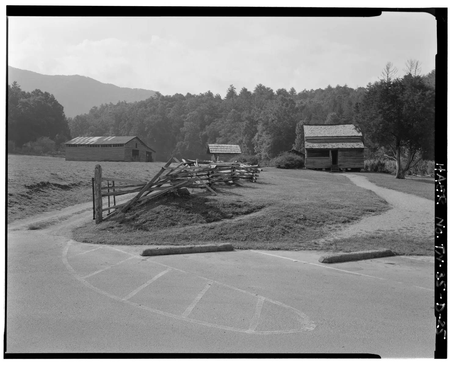 Dan Lawson PlaceA substantial homestead with a brick chimney and broad mountain views.Open guide →Open guide for Dan Lawson Place
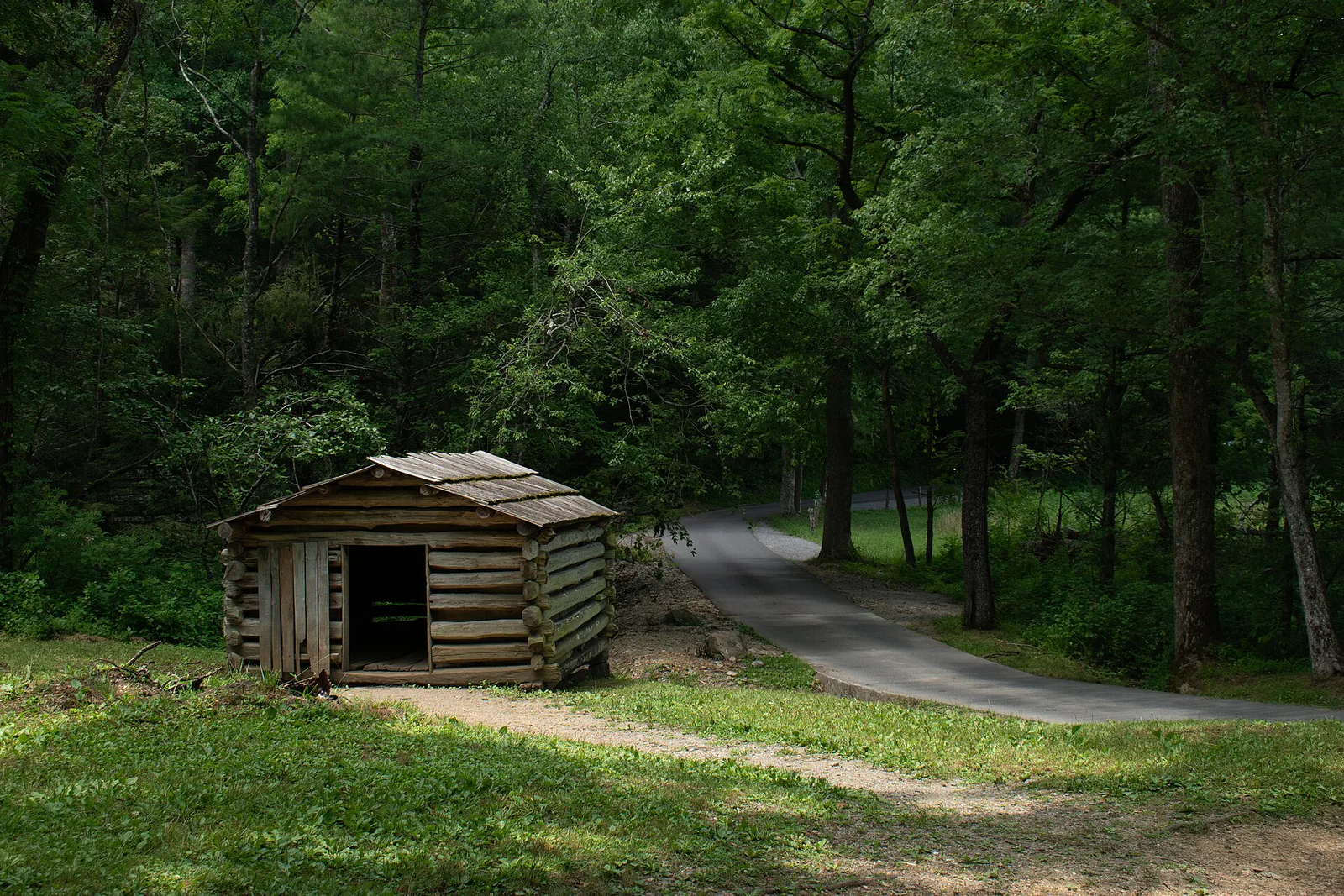 Tipton PlaceA homestead cluster near the southern side of the loop.Open guide →Open guide for Tipton Place
 Carter Shields CabinA small cabin framed by one of the cove’s most memorable settings.Open guide →Open guide for Carter Shields Cabin
Map 2
Getting to Cades Cove
This regional map keeps the park boundary and the major approach roads in view. Townsend is the closest gateway; Gatlinburg, Pigeon Forge, Maryville and Cherokee each approach from a different direction.

From Townsend
The closest and simplest gateway. Follow the signed park approach toward Laurel Creek Road.
Compare Townsend lodgingFrom Gatlinburg
Travel west through the park on Little River Road, then continue toward Laurel Creek Road.
Compare Gatlinburg staysFrom Pigeon Forge
Use US 321 through Wears Valley toward Townsend before turning toward the park.
Compare Pigeon Forge staysFrom Cherokee
This is a long cross-park drive over mountain roads. Treat it as a scenic journey, not a quick transfer.
Check park conditionsOfficial backups
Download the National Park Service maps too
Our maps make Cades Cove easier to read. The official park files remain the final authority for park-wide navigation, trails and current operational guidance.