
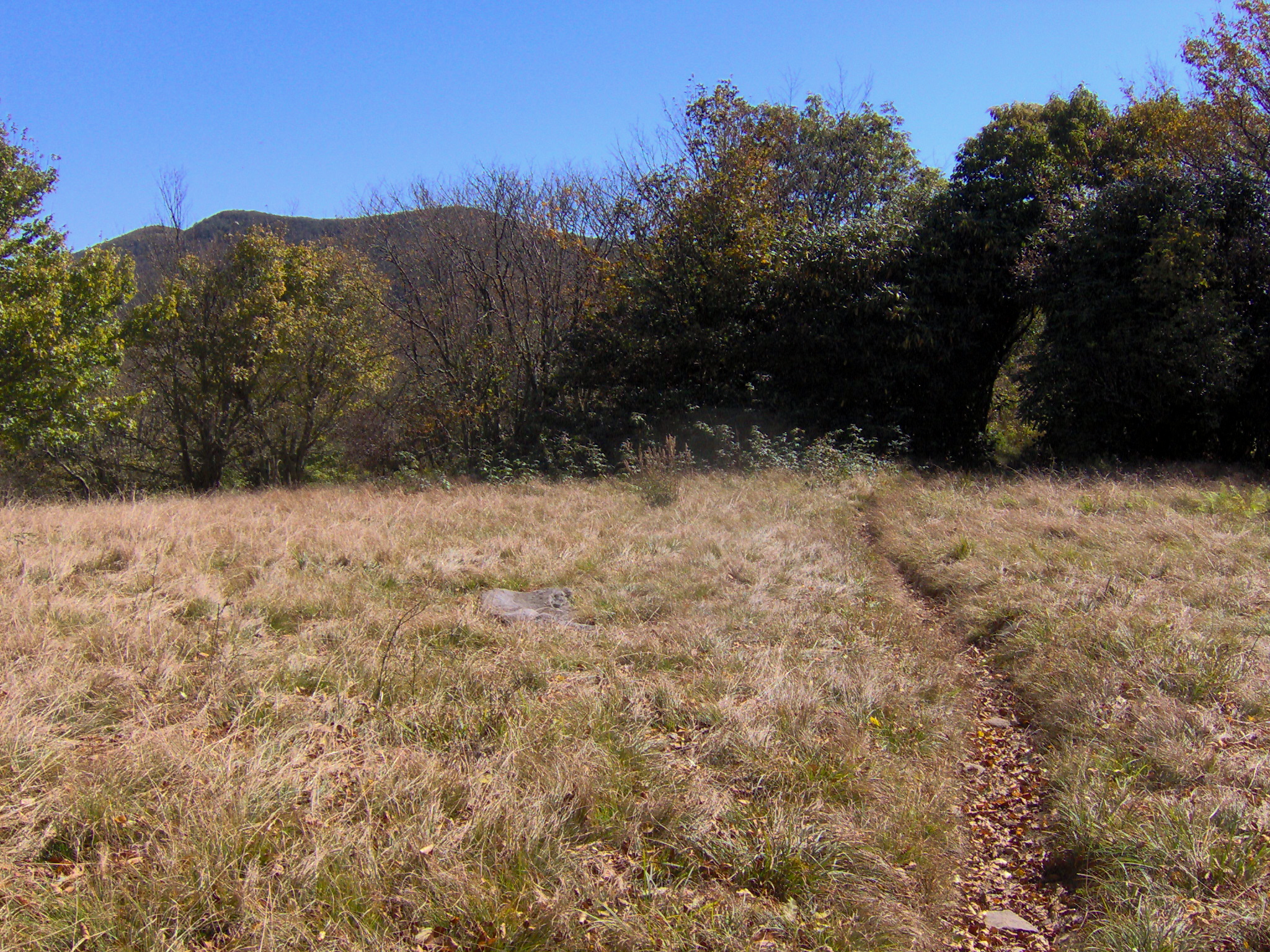
From the Cades Cove campground, the mountains rise quickly. Spence Field and Russell Field are not casual add-ons to an eleven-mile drive; they are high-country hikes that ask for an early start, a map and a willingness to turn around.
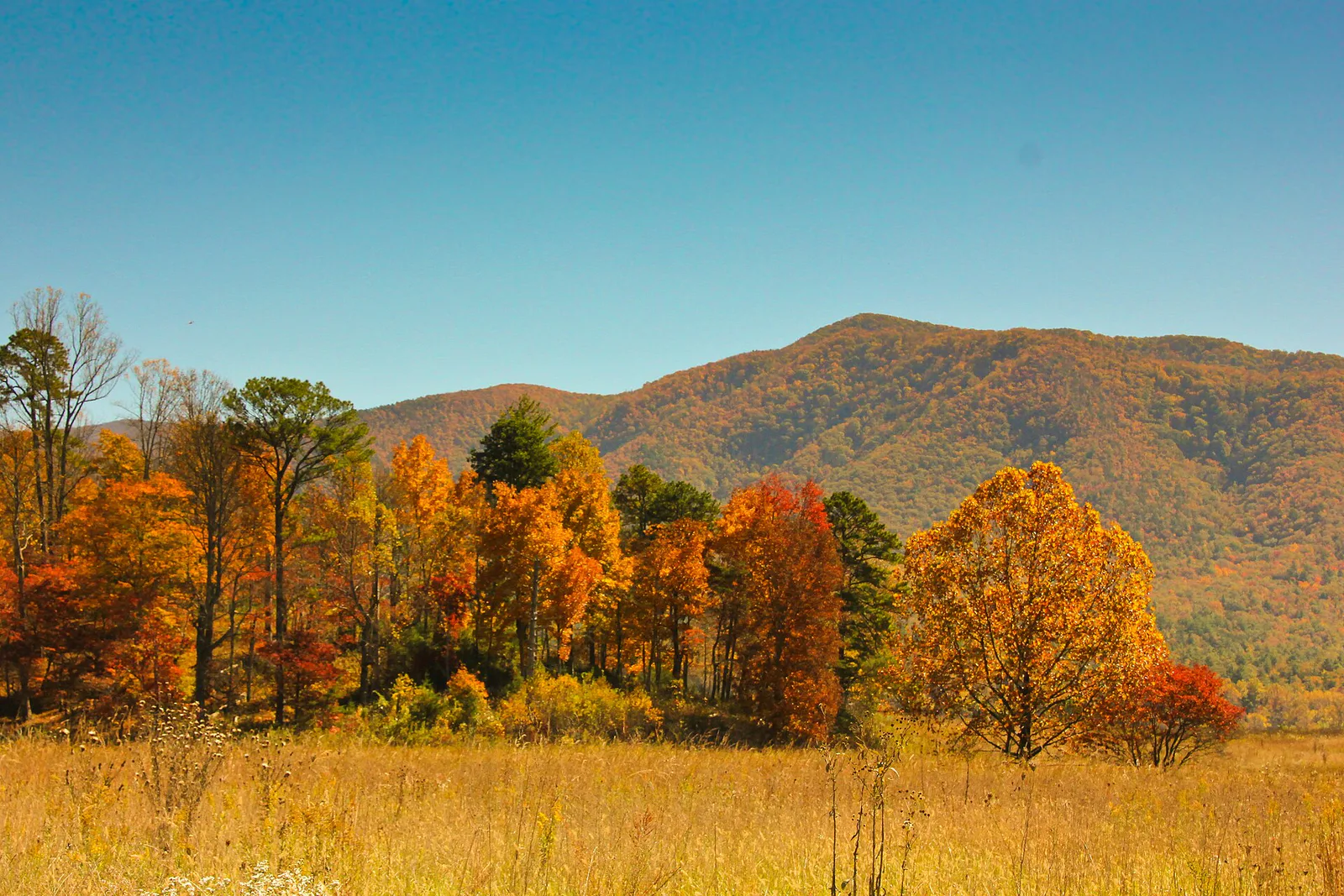
Which route should you choose?
Spence Field route: Cades Cove Campground → Anthony Creek Trail → Bote Mountain Trail → Appalachian Trail → Spence Field → return by the same trail. Russell Field extension: continue west on the A.T. only if time and conditions allow. Confirm each junction against the official NPS map.
The clearest day-hike choice is Spence Field by way of Anthony Creek and Bote Mountain. Begin at the Anthony Creek trailhead near Cades Cove Campground, climb Anthony Creek Trail to its junction with Bote Mountain Trail, then continue to the Appalachian Trail. Spence Field lies along the A.T. Return the way you came. You will cover roughly ten to eleven miles round trip, depending on where you turn around. Check the junction-to-junction distances on the official NPS trail map before you leave; do not navigate by this description alone.
Russell Field is farther west along the Appalachian Trail. Adding it to a Spence Field day makes a long, strenuous outing substantially longer. A loop using Russell Field Trail and Anthony Creek is another possibility, but it involves more junctions and should be plotted from the NPS map before you commit. If you have only a few hours, choose a shorter out-and-back on Anthony Creek instead.
What the climb is like
Anthony Creek takes you out of the settled valley into forest. The grade grows more serious as the route climbs toward Bote Mountain and the A.T. The open grass and high ridges at Spence Field are the reward, but they are also exposed to weather that may be very different from the cove below. Russell Field is a continuation of the mountain walk, not a quick roadside viewpoint.
Allow a full hiking day for Spence Field and more margin for Russell Field. Mileage alone understates this trip: climbing, muddy footing, stream conditions, and the return descent all take time. Start early, keep an eye on daylight and turn around while you still have a comfortable reserve.
Before you leave the campground
- Download the NPS trail map and mark every junction, your turnaround and an alternate retreat.
- Check current trail and road notices and the forecast. Water crossings and downed trees can change the plan.
- Carry water, food, rain protection, a warm layer, a light and a charged phone. Do not count on a signal.
- If you intend to stay overnight, obtain the required backcountry permit and shelter reservation in advance. A day hike does not entitle you to a shelter bed.
- A park parking tag is required for a vehicle parked longer than 15 minutes. Pets are not permitted on these backcountry trails.
For a shorter walk from the same side of the cove, see our Anthony Creek guide. For comparisons across the area, use the Cades Cove hiking selector.
Route and park rules checked October 12, 2026 against the NPS trail map, backcountry guidance and current-conditions pages. Conditions change; the National Park Service is the final authority.
Hero photograph: Brian Stansberry via Wikimedia Commons, CC BY 3.0.
