Choose by fit, not hype
Cades Cove Hiking Trails
The right hike depends on available time, terrain, trailhead access and the people in the group. Compare the routes first; check current closures immediately before leaving.

Abrams Falls
A forested route to a broad 25-foot waterfall. The pool and current are dangerous; never swim or climb on wet rock.
- Distance
- 5 miles round trip
- Time
- 3–4 hours
- Trailhead
- Abrams Falls trailhead on the Loop Road
- Parking
- Popular; limited parking
- Family fit
- Not an easy child stroll
- Watch for
- Footlogs and wet/slippery rock
Cades Cove Nature Trail
A quieter woodland loop for visitors who want to walk without committing half the day.
- Distance
- About 2-mile loop
- Time
- 1–1.5 hours
- Trailhead
- Near the Loop Road
- Parking
- Small roadside area
- Family fit
- Good for capable young walkers
- Watch for
- Roots, mud and uneven ground
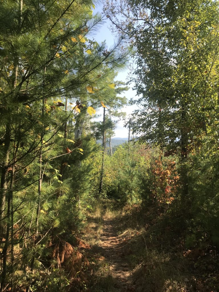
Crib Gap Trail
A wooded connector known for mushrooms, wildlife signs and a less crowded trail experience.
- Distance
- 1.6 miles one way
- Time
- 1.5–2.5 hours out and back
- Trailhead
- Campground/Anthony Creek area
- Parking
- Use designated trail parking
- Family fit
- Better for older children
- Watch for
- Horse traffic and seasonal mud

Anthony Creek Trail
A primary route from the cove into higher country and the gateway to substantially longer mountain hikes.
- Distance
- Choose an out-and-back distance
- Time
- 2 hours to full day
- Trailhead
- Cades Cove campground area
- Parking
- Shared trailhead demand
- Family fit
- Not ideal for small children
- Watch for
- Horse traffic and stream conditions

Bote Mountain Trail
A historic route climbing away from the cove toward the Appalachian Trail corridor.
- Distance
- Distance varies by turnaround
- Time
- Half day to full day
- Trailhead
- Laurel Creek Road outside the loop
- Parking
- Roadside trailhead parking
- Family fit
- Older experienced children only
- Watch for
- Sustained climbing and horse traffic

Rich Mountain Loop
A demanding loop above the valley with changing forest and occasional views back across Cades Cove.
- Distance
- About 8.5 miles
- Time
- 4.5–6 hours
- Trailhead
- Near the Loop Road entrance
- Parking
- Limited; arrive early
- Family fit
- Not a young-child hike
- Watch for
- Long climb, heat and limited water
Gregory Bald
A serious mountain day best known for flame azaleas in season and broad high-country views.
- Distance
- About 11 miles round trip
- Time
- 6–8 hours
- Trailhead
- Forge Creek/Gregory Ridge approach
- Parking
- Seasonal road access can matter
- Family fit
- Experienced teens/adults
- Watch for
- Long climb, weather and water planning

Rocky Top and Thunderhead
A long Appalachian Trail summit day requiring early timing, fitness, navigation and a conservative weather decision.
- Distance
- About 14 miles round trip
- Time
- 8–10 hours
- Trailhead
- Anthony Creek/Bote Mountain route
- Parking
- Start-area parking demand
- Family fit
- Experienced hikers only
- Watch for
- Major elevation gain and changing weather

Cooper Road Trail
Part of an old route that once linked the cove with communities to the west, now offering a quieter walk into the forest.
- Distance
- Choose an out-and-back distance
- Time
- 2 hours to full day
- Trailhead
- Western side of the Loop Road
- Parking
- Small trailhead area
- Family fit
- Older children with trail experience
- Watch for
- Horse traffic, mud and a long route if followed far
Russell Field and Spence Field
A serious climb from the cove to open Appalachian Trail country, appropriate only for prepared hikers with enough daylight.
- Distance
- Long backcountry day
- Time
- 7–9 hours
- Trailhead
- Anthony Creek route from the campground area
- Parking
- Shared trailhead demand
- Family fit
- Experienced hikers only
- Watch for
- Sustained climb, weather, water and navigation
Before every trail
Make a conservative decision
- Check current trail closures, warnings and weather.
- Download the official trail map; cell service is unreliable.
- Carry water, food, layers and a light even on a day hike.
- Expect horse traffic on shared trails and yield appropriately.
- Turn back at unsafe stream crossings, worsening weather or fading daylight.
- Keep food secured and pack out every scrap.