
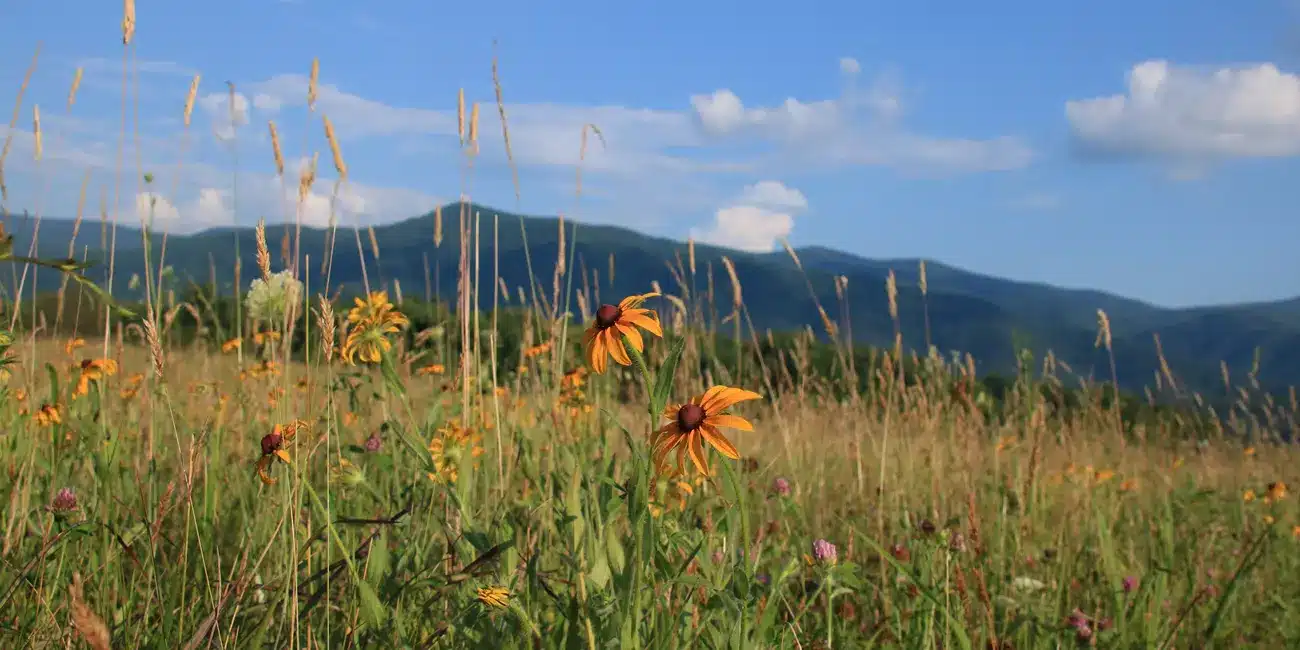
Cades Cove is a fine place to begin a hike, but the loop road is not a backcountry campsite. The distinction matters. If you plan to sleep beyond the developed campground, choose a designated site or shelter, reserve it, and build your route around the trail map—not around a photograph of the valley.
Choose the route before the campsite
The cove gives you access to long climbs into the Smokies. Trails in the Anthony Creek and Bote Mountain area lead toward the Appalachian Trail; Gregory Ridge is another strenuous way into the high country. Those are serious mountain walks, with grades and weather very different from the open valley below. Abrams Falls, by contrast, is a popular day hike. Do not treat a day-hike destination as permission to camp beside the trail.
Start with the official park trail map. Check the mileage, elevation, stream crossings, and where you can legally spend each night. Then compare the route with the current park conditions. A road or trail closure can undo a carefully planned itinerary.
Permits, parking, and where to sleep
Every overnight backcountry trip in Great Smoky Mountains National Park requires an advance permit and a reservation for the specific campsite or shelter. NPS now directs visitors to reserve through Recreation.gov; use the park’s backcountry camping page for the current process, fees, and site rules. Do this before driving to Cades Cove. A developed-campground reservation is not a backcountry permit, and the two are not interchangeable.
If you leave a vehicle for more than 15 minutes, the park’s parking-tag requirement applies. A backcountry permit does not replace the tag. Check NPS parking-tag guidance and your trailhead’s overnight-parking rules before departure.
Want a night near the valley without a backpacking permit? Cades Cove Campground is a separate, developed campground that NPS lists as open year-round. It is a useful base for day hikes, but it is not a shortcut into the backcountry permit system.
Pack for the ridge, not the valley forecast
Carry the official map offline, a light, rain protection, warm layers, enough food, and a way to treat water. Cell service is unreliable. Temperatures and wind can change sharply as you climb above the cove, and daylight is short in winter. Tell someone your route and expected return time. If the forecast or a closure makes your planned miles doubtful, shorten the trip rather than racing the light.
This is bear country. At backcountry sites, use the food-storage cables provided for food, trash, cookware, and other scented items; follow the site-specific directions in your permit. Never leave food unattended, and give bears at least 50 yards. Keep to designated campsites and shelters, and leave the site clean for the next party.
Before you shoulder the pack
- Confirm your reserved campsite or shelter and permit.
- Check the official trail map, alerts, forecast, and daylight.
- Confirm parking and carry a parking tag if required.
- Download your map; do not count on a cell signal.
- Have a shorter route or turnaround point if conditions change.
For an easier introduction to the valley, drive the Loop Road or choose a day hike first. Backpacking starts when the pavement and crowds fall behind—but good planning starts well before that.
Source check: October 6, 2026. Verify permit availability, road and trail status, and fees with the National Park Service before travel.